


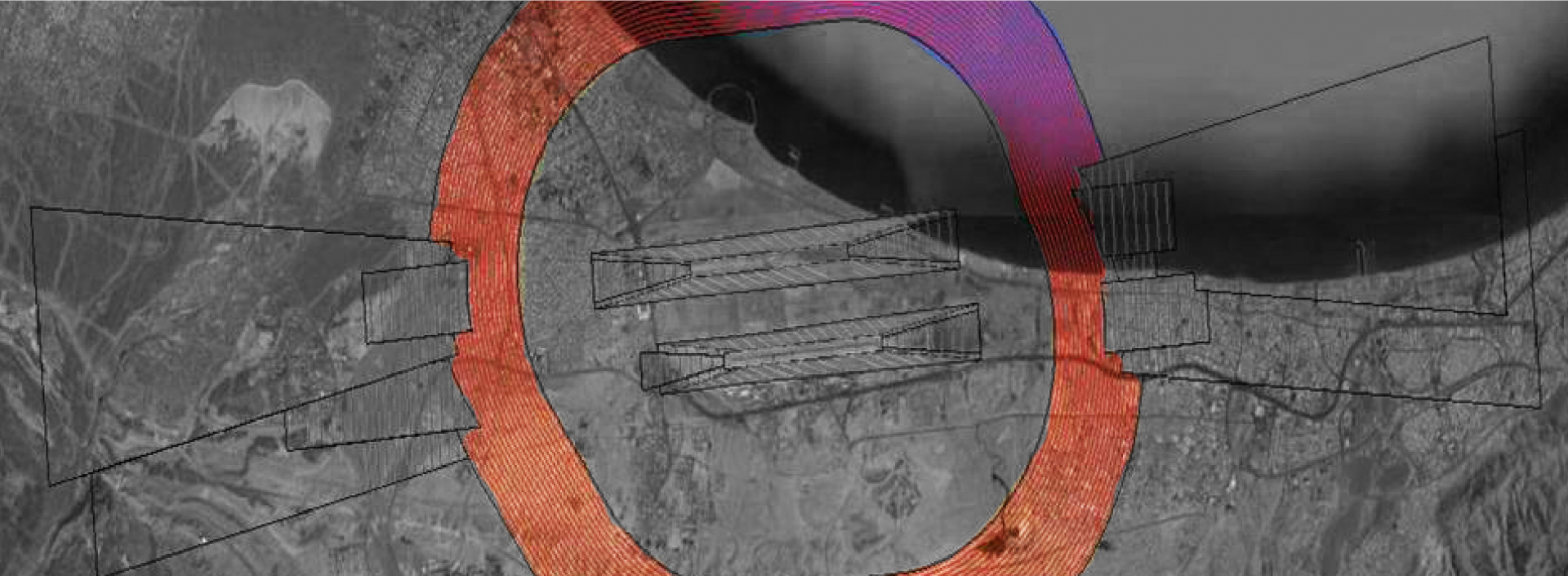
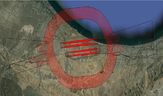
Evaluation tool for studying the calculation of aeronautical easements and obstacle limitation surfaces. It makes it possible to study the interaction between the natural terrain and the surfaces, and to analyse the compatibility of specific elements, constructions or new urban developments surrounding airports with the surfaces. This tool simplifies the planning process for expansions and new airport infrastructure from an early stage in the design process. It also analyses the airport's compatibility with its surroundings. The software uses a GIS environment to study:
-
Easement calculation process
-
Automated process
-
Minimisation of input errors
-
Improvement of product quality
-
Analysis of urban developments
-
New planning control (corresponding authority)
-
Better, more comprehensive knowledge of the environment (airport manager)
-
New project viability (project designer)


