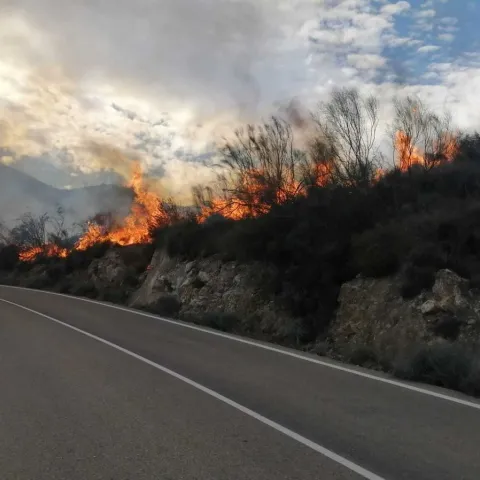
In the context of climate change, wildfires are becoming more frequent, more intense and increasingly difficult to predict. Heatwaves, prolonged droughts and extreme weather conditions are reshaping risk on a global scale. Against this backdrop, understanding where, when and how a fire may occur has become a priority — but also a complex challenge. This is because risk does not depend on a single factor, but rather on the interaction between climate, land characteristics, human activity and infrastructure.
To address this, Ineco has developed its own methodology to assess wildfire risk in an integrated way under different climate change scenarios. This approach combines climate science, territorial analysis and advanced modelling to turn data into actionable decisions. The starting point is twofold: on the one hand, vulnerability, which measures how exposed and sensitive a territory is to fire; on the other, risk, which also incorporates the probability of a fire occurring and the scale of its potential consequences.
To achieve this, the methodology integrates indicators such as the Fire Weather Index, which reflects conditions favourable for ignition and fire spread, alongside environmental variables such as topography and land use. From there, models are built to identify the areas most susceptible to wildfires and to anticipate how this risk may evolve over different time horizons, from the short to the long term.
The outcome is not merely a diagnostic tool, but a strategic instrument. Dynamic maps make it possible to visualise how risk is expected to develop, facilitating the planning of prevention, adaptation and emergency response measures. The impact of wildfires extends far beyond the moment they occur. After a fire, changes in the soil — such as the loss of water absorption capacity — can lead to lasting effects, increasing the risk of erosion and hindering land recovery. This type of analysis therefore enables anticipation not only of the wildfire itself, but also of its consequences, offering a cross-cutting perspective applicable to different types of assets and territories.
This methodology is not just a conceptual development; it is already being applied in real-world projects, such as the Climate Change Adaptation Plan for the State Road Network, as well as in various initiatives for Adif, including climate risk assessments and the planning of investments needed to adapt the rail network to the effects of climate change. Its value lies precisely in this: its ability to move from modelling to implementation, integrating into decision-making processes and helping to prioritise actions where risk is greatest.
However, complacency is not an option. At the same time, Ineco continues to drive new internal developments in this field. As part of the 2026 Intrapreneurship Call, two further projects focused on wildfire prevention and management were selected: Belenos FirePredict Geoportal, which enables risk to be anticipated and translated into operational decisions several days in advance, and FIRE-NEST, a solution based on sensors, computer vision and drones for the early detection and verification of potential ignition points.
Taken together, these projects point in the same direction: getting ahead of risk in an increasingly uncertain environment. Because the key is no longer simply to react, but to anticipate — and, once again, data is making the difference.