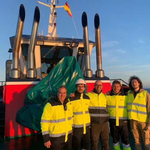
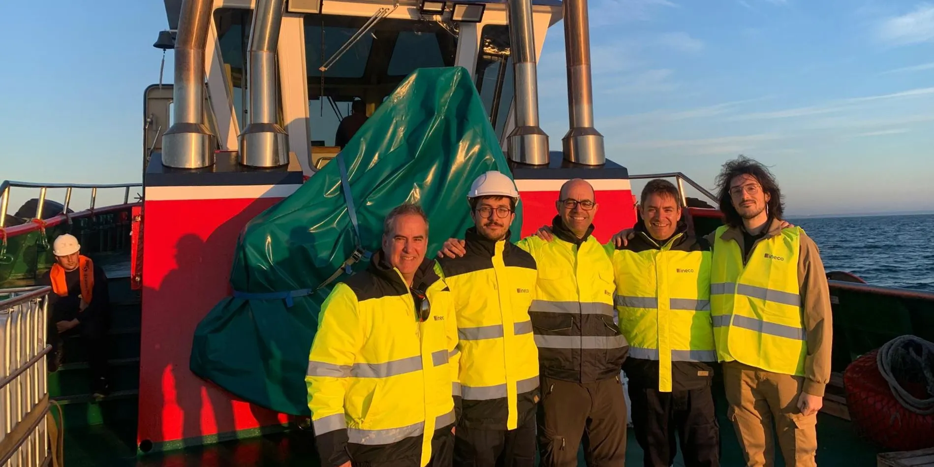
The team behind the trials.
Detecting an oil spill before it reaches the coast is a race against time. In the Gulf of Cádiz, Ineco has been testing its own technology designed to win that race by combining satellites, artificial intelligence, drones and maritime navigation data.
The company has carried out a real‑world validation campaign at the Port of Huelva to test the PURSUIT system, a project developed under Ineco’s internal innovation programme. Its aim is to detect hydrocarbon spills at an early stage, monitor their evolution and identify potential polluters.
During a day of trials authorised by the Harbour Master’s Office, technicians generated controlled spills using harmless materials (mainly vegetable oil) and simulated complex scenarios, including moving slicks, stationary spills and false alarms involving floating straw. The tests were complemented by drone support, with aircraft launched from a vessel offshore to try to observe the slicks using optical cameras.
The system draws on imagery from the European Copernicus programme, combining radar data from Sentinel‑1 with optical data from Sentinel‑2. After processing the raw products, artificial intelligence algorithms are applied to add an extra layer of analysis, distinguishing genuine pollution from natural phenomena. Integration of AIS data also makes it possible to cross‑reference this information with the positions of vessels in the area.
The result is a geospatial platform capable of generating automatic alerts and providing authorities with an early picture of the situation. In a context where every hour counts to prevent a spill from spreading, reducing response time is crucial.
Following this validation phase in Huelva, the system now moves on to its next stage: consolidating itself as an operational tool for maritime surveillance. At a time of increasing pressure on marine ecosystems, technology supported by the combined use of satellites, drones and artificial intelligence is set to become a useful and robust means of detecting offshore spills before they are even visible from land.